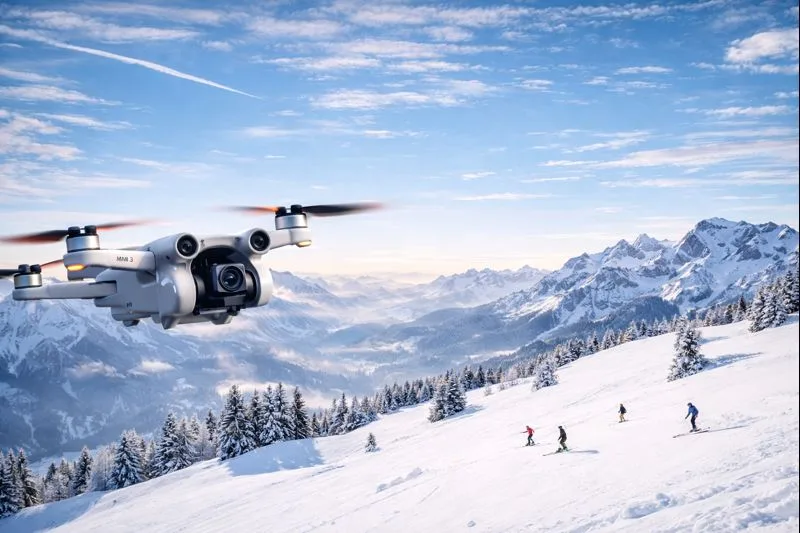


Swiss Drone Map & Drone Flight Restrictions
DRONE FLIGHT SCORE · AMPEL PROTECTION AREAS · COMMUNITY REPORTS · LIVE WEATHER
LAUNCH INTERACTIVE DRONE MAP
DRONE FLIGHT SCORE · AMPEL PROTECTION AREAS · COMMUNITY REPORTS · LIVE WEATHER
LAUNCH INTERACTIVE DRONE MAPCheck wind at 10 m, 80 m, 120 m, 180 m and estimated 445 m, gusts, rain probability, clouds, temperature, and Kp index. Select your drone profile for realistic limits.
New: interactive step-by-step assistant for Swiss drone regulations. Select your drone, identify class & subcategory, get a personalised pilot card, and tick off the pre-flight checklist.
Traffic-light scoring (Red / Orange / Yellow) for nature protection and wildlife zones — 11 federal sources plus 23 cantons via geodienste.ch.
Draw a zone on the map and report informal drone bans — with photos and description. Verified reports appear as a dedicated layer.
Learn moreNational and cantonal boundary lines as a white overlay on all map styles — always visible for better spatial orientation.
Source: swisstopoThe essential tool for drone pilots and UAV (UAS) operators in Switzerland. Use this drone map to visualize national and cantonal flight restrictions, no-fly zones (NFZ), and aviation obstacles to ensure airspace safety and compliance with EASA regulations.
The Drone Flight Score gives every pilot an instant 🟢 Excellent / 🟡 Flyable / 🟠 Difficult / 🔴 Unsafe rating for the current hour and the next 7 days. Select your drone profile — DJI Mini, Air, Mavic, FPV 5", or Avata — and wind, gust, rain, cloud, temperature, and Kp-index thresholds adjust automatically to your aircraft's rated limits. Hover any score to see exactly which factor is limiting your flight window.
Use our interactive map to check your flight path. Violation of airspace regulations can lead to severe fines.
New to Swiss drone law or need a refresher? The Swiss Drone Guide is an interactive step-by-step wizard that walks you through every regulation — from registration and drone classification (C0 / C1 / C2 / Legacy / DIY) to A1 / A2 / A3 subcategory rules, FPV requirements, and insurance. It ends with a knowledge quiz and a personalised pre-flight checklist so you can confirm you're legal before takeoff.
Looking for a safe spot? Check our Easy Fly Zones: Areas at least 30m or 150m away from settlements, forests, railways, and power lines, outside of any NFZ.
Start exploring and discover Switzerland from above responsibly!
